Alto Tajo Motorcycle Route
GUADALAJARA · RIVER COUNTRY

Alto Tajo Motorcycle Route

Canyon roads, pine forest and limestone tracks make the Alto Tajo the first serious off-road test in the Dust Pilgrim apprenticeship.

Route file

40.719° N · 2.135° W

01
Planned multi-day ride
02
Surface changes with weather
03
Legal access must be checked locally
01

Why the Alto Tajo

The upper Tagus cuts through a vast protected landscape between Guadalajara and Cuenca. The attraction is not a single monument but the scale of the gorge, the small villages inside it and the sudden transition from tarmac to loose ground. It is close enough to Madrid to repeat, but complex enough to expose weak preparation.

02

Riding responsibly

A line on a digital map is not proof that a trail is legal or open. Protected areas, forestry work, fire risk and seasonal restrictions can change access. The final route will use public roads and authorised tracks only, with local signage taking priority over downloaded GPX files. Wet clay and loose stone also make weather more important than distance.

03

The purpose of the episode

This ride tests standing position, braking on gravel, luggage security and recovery after a drop. It is deliberately not presented as an expert route guide before it has been ridden. Confirmed waypoints and practical lessons will replace the planning notes after filming.

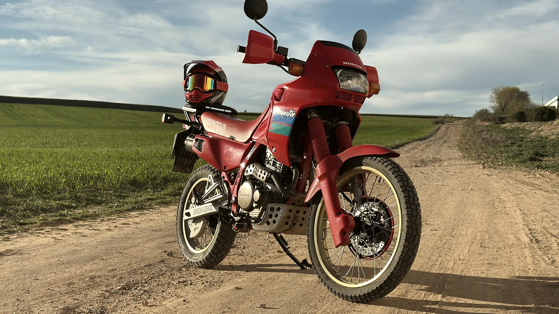
Before the ride

First-hand data.
Only after riding.

This page will always distinguish advance research from verified experience on the ground.

Is Alto Tajo Motorcycle Route a completed route?

Not yet. This is a research file. Dust Pilgrim will add first-hand navigation distance, surface and timing only after the route has been ridden and verified.

Is a GPX file available?

Not yet. A GPX will only be published after checking that it uses public roads or authorised tracks and does not direct riders through restricted access.

What should I verify before visiting?

Confirm opening times, booking, access rules and weather with the official site. For Alto Tajo Motorcycle Route, local signs and restrictions always take priority over a downloaded map.

Follow the research

The route is earned before it is ridden.

These pages will be updated with first-hand evidence after each ride.

See the complete road
Field dispatch

No schedule, no promises. One email when there is something worth watching.